Nepal ice-rock avalanche kills 31, leaves 531 missing


- An ice-rock avalanche in Nepal killed 31 people and left 531 missing as of Friday
- The debris flow struck Gyirong Port on the China-Nepal border on August 26
- Experts compare the event to historical disasters like the 1970 Peru avalanche
- Geologists highlight bedrock failure and permafrost weakening as key drivers
- Authorities call for robust early-warning systems and satellite monitoring

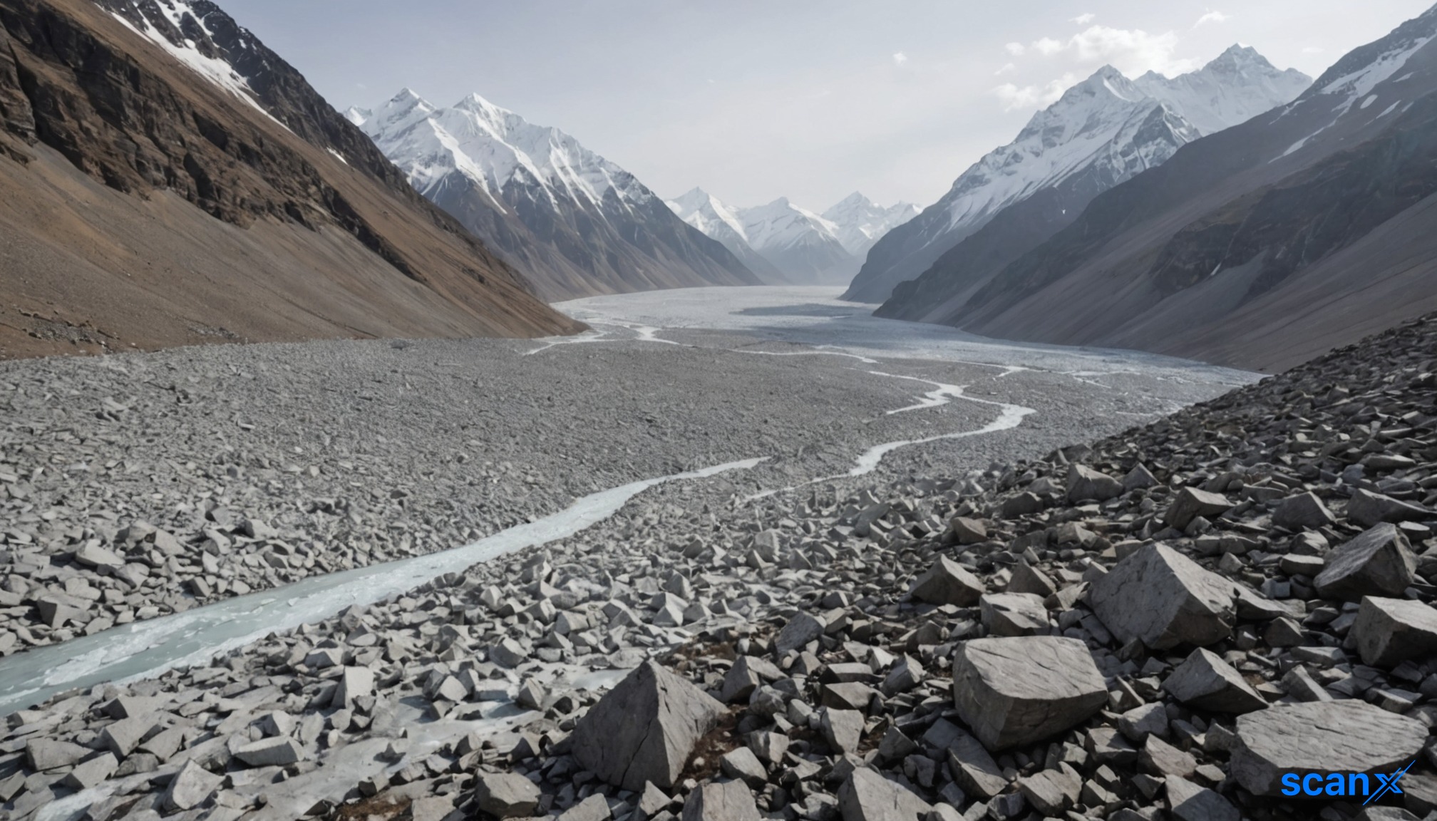

*this image is generated using AI for illustrative purposes only.
An ice-rock avalanche triggered by a high-altitude glacier collapse in Nepal killed 31 people and left 531 others missing as of Friday. The debris flow struck Gyirong Port on the China-Nepal border in Southwest China's Xizang Autonomous Region on August 26.
Local authorities have been conducting risk assessment work following the disaster. The event highlights the growing threat of unstable ice masses in rapidly warming mountain environments.
Historical Context and Expert Analysis
Alton C. Byers, a senior research affiliate at the University of Colorado Boulder, described the Mount Langtang Lirung disaster as part of a series of ice avalanche events following similar processes to those seen in the latter half of the 20th century. He noted similarities to major avalanches on Mount Huascarán in Peru's Andes.
In 1962, a massive glacier detached from Huascarán, moving 15 kilometers in seven minutes. Eight years later, a magnitude-7.7 earthquake triggered a collapse on the same peak. Up to 100 million cubic meters of rocks, snow, and ice buried the town of Yungay at speeds of up to 335 kilometers per hour, killing more than 18,000 people, according to the US Geological Survey.
Geological Factors and Future Risks
Jakob Steiner, a geoscientist at the University of Graz, compared the recent event to the deadly 2021 Chamoli disaster in India's Uttarakhand state. In both cases, underlying bedrock failure dragged overlying ice into the collapse.
Steiner emphasized that understanding how climate change weakens rock and permafrost is crucial for assessing future risks. He noted that the Mount Langtang Lirung disaster was "much larger than any we recorded in modern times" in terms of runout and impact.
Amod Mani Dixit, founder of the Nepal National Society for Earthquake Technology, warned that accelerating cryosphere degradation can trigger cascading risks. He called for risk-based development planning and multi-hazard risk mapping along entire valley corridors.
Monitoring and Early Warning
Byers stated that the priority should be developing robust early-warning systems tailored to high-magnitude events. This requires strengthening risk monitoring by identifying high-risk areas where glacial landscapes dominate upper watersheds while towns lie downstream.
Regular analysis of satellite imagery will be crucial for monitoring these zones. Byers noted that identifying danger is only the beginning; early warning must be paired with immediate evacuation protocols for downstream communities.

How might the recent disaster influence international funding allocations for climate-resilient infrastructure in the Himalayan region?
What specific advancements in satellite monitoring technology are required to provide real-time early warnings for high-altitude glacier collapses?
Could the implementation of multi-hazard risk mapping lead to stricter zoning laws that restrict development in downstream valley corridors?
 16
16






 Create Custom Screeners
  Access 200+ Pre-built Filters
  Use 50+ Readymade Screener