Genesys Wins Historic NMCG Order for Ganga Survey


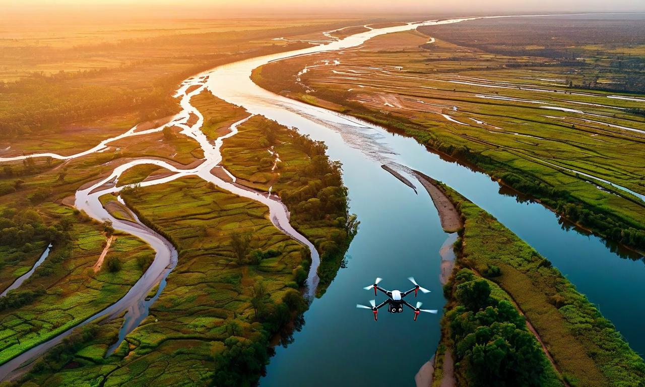
Genesys International Corporation Limited has secured a landmark project from the National Mission for Clean Ganga (NMCG) for the Aerial LiDAR Survey and Geotagged Videography of the Drainage System of River Ganga. Spanning the Ballia-to-Farakka stretch across Uttar Pradesh, Bihar, Jharkhand, and West Bengal, the project will use manned aerial platforms and UAVs to generate high-resolution geospatial datasets. Key deliverables include 3D LiDAR point clouds, orthorectified imagery, and geotagged drainage information to support river management and environmental monitoring.

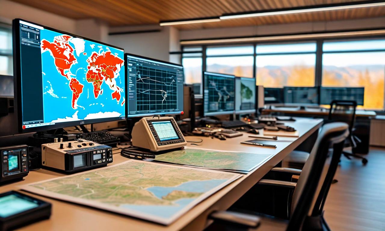
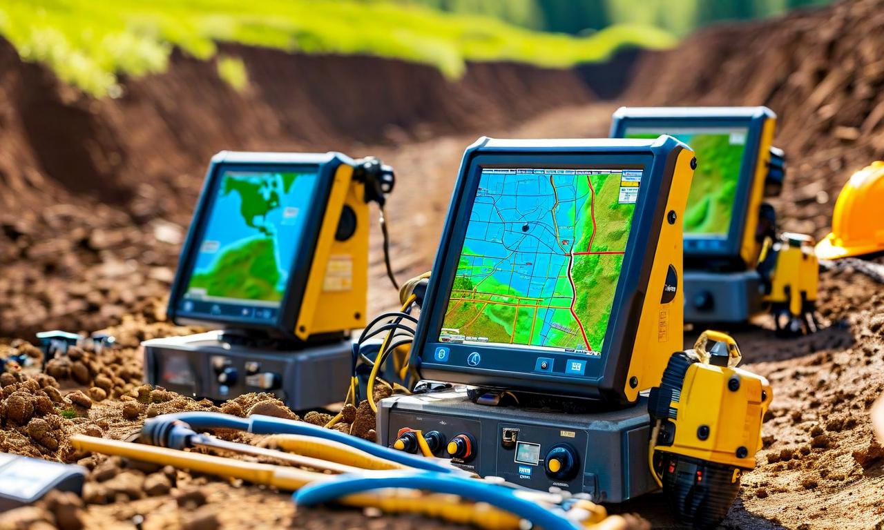
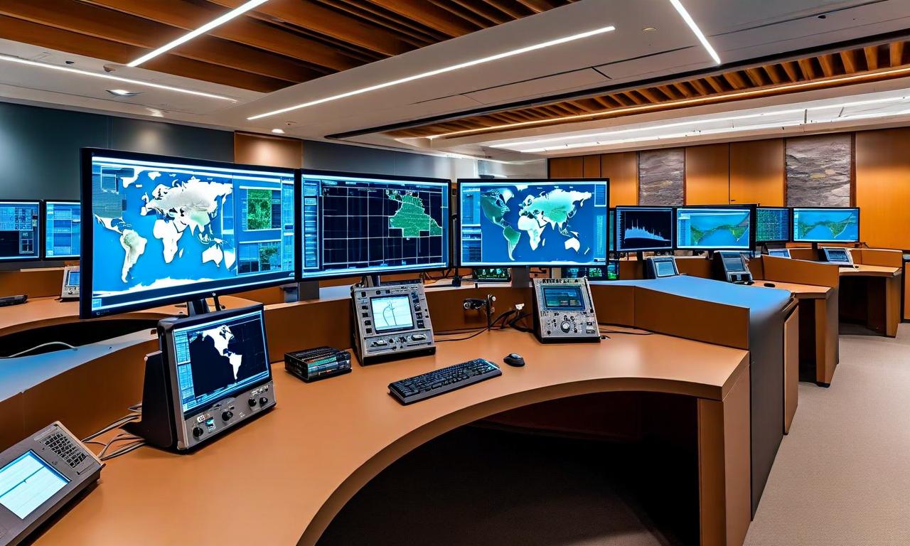
*this image is generated using AI for illustrative purposes only.
Genesys International Corporation Limited has secured a landmark project from the National Mission for Clean Ganga (NMCG), Ministry of Jal Shakti, for the Aerial LiDAR Survey and Geotagged Videography of the Drainage System of River Ganga. The project spans four states—Uttar Pradesh, Bihar, Jharkhand, and West Bengal—and will utilise a combination of manned aerial platforms and unmanned aerial vehicles (UAVs)/drones to capture high-resolution geospatial datasets for the river corridor and associated drainage systems.
Project Scope and Key Details
The engagement covers the Ballia-to-Farakka stretch and is designed to produce a high-accuracy, decision-ready geospatial dataset to support river-corridor assessment, drainage identification, terrain understanding, and downstream planning. The uniqueness of this project lies in the speed at which the Genesys constellation of sensors operates. The following table outlines the key parameters of the engagement:
| Parameter: | Details |
|---|---|
| Client: | National Mission for Clean Ganga (NMCG), Ministry of Jal Shakti |
| Coverage: | Ballia-to-Farakka stretch |
| States Covered: | Uttar Pradesh, Bihar, Jharkhand, West Bengal |
| Nature of Order: | Aerial LiDAR Survey and Geotagged Videography |
| Survey Methods: | Manned aerial platforms and UAVs/drones |
| Key Activities: | Aerial LiDAR survey, photogrammetry, orthorectified imagery, geotagged videography |
Deliverables and Technical Outputs
The assignment includes aerial LiDAR survey, photogrammetry, orthorectified imagery, and geotagged videography of natural and manmade drainage systems merging into the river. The project will generate the following key outputs:
- 3D LiDAR point cloud for terrain and drainage analysis
- Orthorectified imagery for spatial accuracy and mapping
- Annotated aerial video for visual documentation of drainage systems
- Geotagged drainage information covering natural and manmade drainage systems
Strategic Significance and Use Cases
The engagement reflects the growing importance of river intelligence as a strategic geospatial vertical. By combining LiDAR, aerial imagery, and drone videography, the resulting dataset is positioned to support a broad range of use cases. These include drain and confluence mapping, pollution hotspot identification, wastewater interception planning, floodplain and terrain analysis, river-edge infrastructure planning, environmental compliance monitoring, and digital decision-support systems for basin management.
Historical Stock Returns for Genesys International Corp
| 1 Day | 5 Days | 1 Month | 6 Months | 1 Year | 5 Years |
|---|---|---|---|---|---|
| -2.61% | -23.32% | -17.72% | -56.12% | -71.27% | +108.70% |
Could the successful execution of this NMCG project position Genesys International to win larger river intelligence contracts for other major Indian river systems like the Yamuna, Brahmaputra, or Godavari?
How might the geospatial datasets generated from this project be monetized or licensed for secondary use cases such as urban flood insurance modeling or private infrastructure planning?
Will the growing adoption of UAV-based LiDAR surveys by government agencies like NMCG accelerate regulatory changes around drone usage in sensitive river corridor zones across India?
 18
18